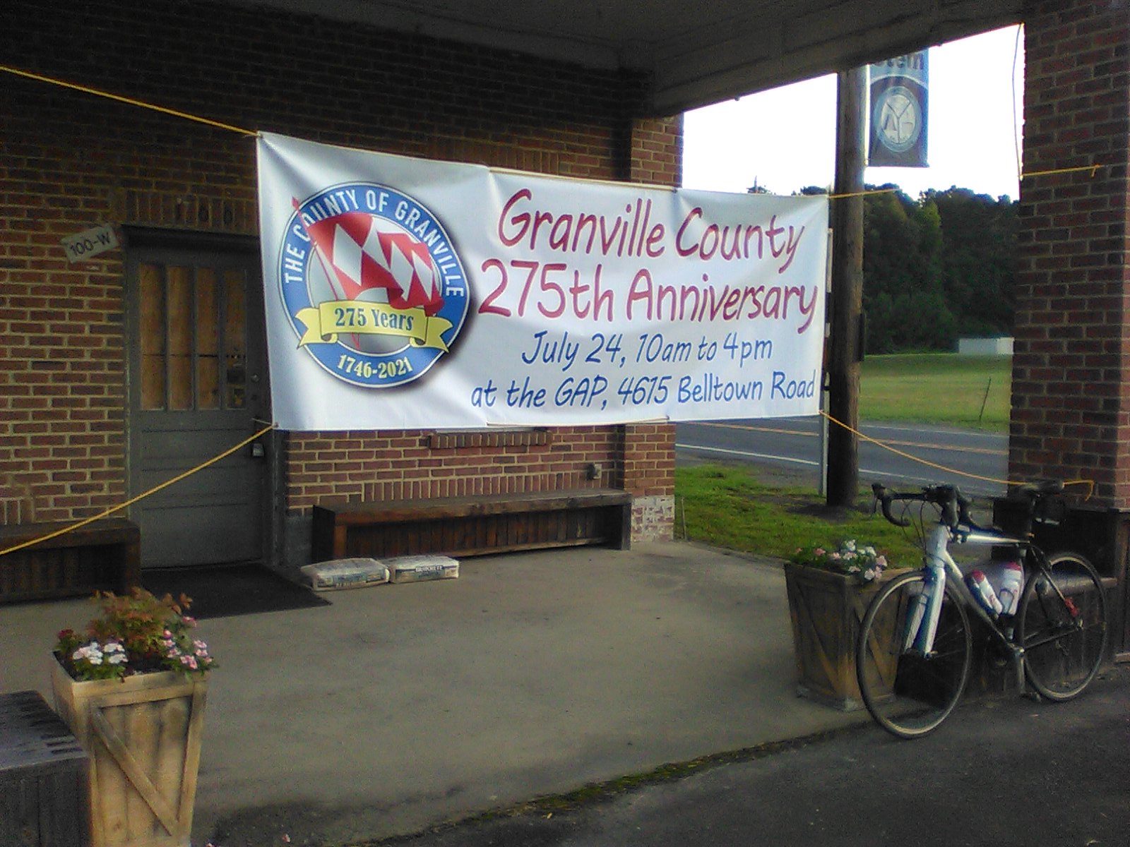
I decided to check out a prospective 150+ km route for a possible RUSA Populaire.
Occasionally when doing the "Denny's Store Sortie" 138-km Perm-Pop
I've thought about making the 20-mile detour to ride up to and across Mayo Lake.
But I never did.
However, with me putting on RUSA Brevet-Populaires under Alan's auspices, and
A change in RBA for Raleigh likely to occur in the near future, and
Me still looking for post-COVID lockdown rides (other than RUSA Brevets or Perms),
I figured that Aug-22nd would be a good day to check out a prospective Mayo Lake route.
I thought I understood what would be the shortest route.
As I type this, I thought I had a RWGPS of the original Irregulars Mayo Lake 100-miler,
But research reveals that the original online route was done via "TrimbleOutdoors,"
And that no longer exists.
Or, the original online route might have been done via "Veloroutes,"
But that was only ever someone's hobby and that stuff essentially no long exists.
I could re-create the route I rode on Aug-22-2021, but that would be mostly a waste of time.
I choose to embed the final RUSA Mayo Lake 153k Populaire RWGPS at/near the bottom of this.
I'll relay the story primarily via the photos I took that day.
Most of the photos were taken at prospective controls.
But first, the extract from my Excel log:
- -> "Mayo Lake 100" - NewLight-SixForks "finish" ->
- 0645 - 1615 -> 9h30 elapsed -- 4648 ft climbing
- 109.1-miles, 7:51 in-motion and that includes some walking, 13.9-mph avg in-motion.
 |
| Riding thru Butner, the interplay of the sunshine and shadow attracted my attention, so I stopped to take a photo of the Gazebo. Timestamp 0807. |
 |
| Yep, this is definitely NOT the "flint section." This was after the flints. Of note after this was the steep downhill with gravel pebbles scattered about, so the surface was mostly hard-packed dirt, but there was no way to avoid the pebbles. Downhill, coasting at 21, 23, even 25 miles-per-hour, the bike bouncing around because of the scattered pebbles, me repeating the mantra "hold onto the bike, hold onto the bike, don't fall." I was glad when the downslope ended. When I reached the end of the road, I realized where I was -- I had ridden past the south end of J.D. Denny Rd many times, but had never paid attention and had not remembered that the south end was gravel. Timestamp 1207. |
I finished the ride on roads well-known to me (the "Denny's Store Sortie" and "R-B-R" routes).
When I got back to my place, I created the RWGPS routing for what would become the Mayo Lake 153k RUSA Brevet-Populaire. [As I type this, I want to express the following: the Populaire is a very good route; I wish I could get more people to ride it.]